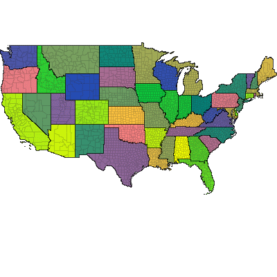
A Win32 COM object was developed to generate national maps. The output could scale smoothly to any size. Each county could be assigned a unique color to indicate weather warnings. Here each county is given a unique color according to its FIPS code.